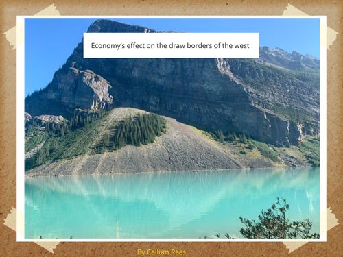
So this is this first blog post for the school year that i am doing for this class and its the first project that we did in humanities this year. This project was about geography and it’s affect on the formation of the west and how it shaped the west and us into who we are today. Just a disclaimer when i say the west in this project i am talking about the Canadian west and not just the western world.
So one of the defining parts of projects was the fact that our class went to Alberta in two different trips with pretty similar activity’s and visits to locations. I went on trip one and if you look at both of the trips the first one had the better schedule. After we had been to Alberta and understood the driving question we to make multitouch ebooks using the book creator app on our iPads and then we then had a mini exhibition of our work to show our parents. So that was a simplified description of what we did in this project, but rest of the blog post i am going to tell the story of this project what we did in it. I am also going to embed my ebook at the end of the blog post. Also sorry for making this blog post so long.
So the driving question of this project was a big part of this project as it is always but it was more important than it has been in other projects because it had too do with quite a lot when it came to this project, but why was this? It was important because our answer to driving question was the title of our book, so for me this was how did geography after the drawn borders of the west. It affected our projects because when it came to our book we had to chose if we wanted to focus on history, economy or diversity of the west. So as you can see it affected our projects and our ebooks in a multitude of ways, and near the end of our project kind of dictated the way we though about our projects and how we were working on them. So the driving question was a big part of our projects. but before we could answer the driving question we had to actually learn about geography of the western part of our country and for those of us going on one of the two trips we had to go on the trip and visit the areas and region and learn about all of this. I won’t talk about this in full because if you want to learn more you can read my ebook because there is a lot of information in there.
So i am only going to talk about the sites that i think were more important to our learning or our answer to the driving question. The first one of these import sites that we went to the last spike site in Revelstoke. The last spike site is at the general area that the last spike was driven if not the exact area and there is a train a gift shop and there are different signs talking about the railroad and it significance. There are also signs how it impacted the people lived in the region and the people who worked on the railroad. This was a really important site and it think it changed my worldview a little bit because it changed the way that i though about how Canada worked a long time ago.
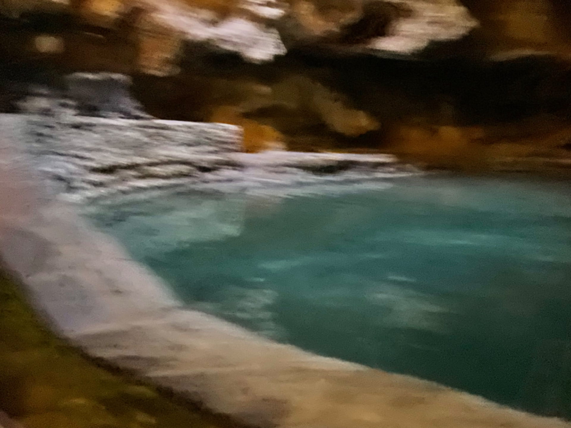
The second site that i think was very important to our learning was the cave and basin national historic site in an area that eventually lead to formation of our national park system. So way back when two miners found a site with a natural hot spring and because of this they decided to try to get the land form the government, but the government decided that they wanted the land instead and then took it and made the hot spring area that people could swim in. eventually a separate place was made f for people to swim in because in the cave there is an endangered species of snail and they want to preserve them so you are not allowed to touch the water in the cave anymore. So this is a big part of how Banff formed.
Once we had been to all of the sites and done all of our learning we then took some time in class to organize the exhibition and figure out our answer to the driving question. Once we had our answer to the driving question we finished up our books and prepared for the exhibition.
so that is the story of this project and what we did. You can see some photos on the plp instagram linked here and you can see some photos that i took and me ebook right below here. Thank you for reading.